- Constitution
- Important Cultural Properties - Documents
- Important Cultural Properties - Classic Maps
- Important Cultural Properties - Japanese Classics
- Important Cultural Properties - Chinese Classics
- Various Holdings
- Genroku Kuniezu
- Genroku Gocho
- Tempo Kuniezu
- Tempo Gocho
- Shoho Shiroezu
Shoho Shiroezu
The Tokugawa Shogunate ordered Feudal Clans to prepare the Shoho Shiro Ezu (map of castle town) in the first year of Shoho (1644). These illustrated maps include military information such as buildings in castle compounds, height of stone walls, width and depth of moats, as well as plans of castle towns, location and features of mountains and rivers are shown precisely and accurately. Each clan submitted the Ezu within several years after received order from the Tokugawa Shogunate. The Shogunate kept these Ezu in Momijiyama Bunko (library). Inventory books of the library recorded 131 Ezu in "Enlarged Official Inventory Book" at the end of Edo period. Presently, National Archives of Japan has 63 shoho Shiro Ezu. These Ezu are designated as National Important Cutural Properties in the 61st year of Showa (1986).
- Select the region:Hokkaido
- Select the region:Tohoku
- Select the region:Kanto
- Select the region:Chubu
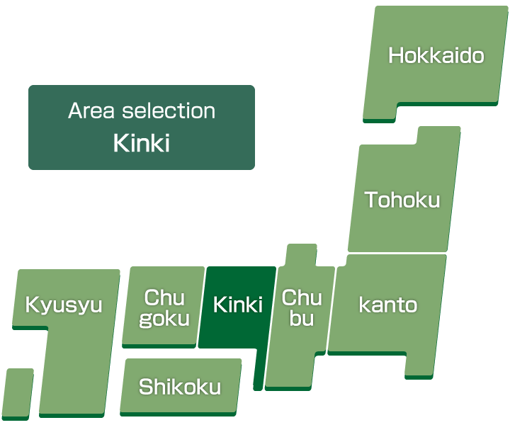
- Select the region:Kinki
- Select the region:Chugoku
- Select the region:Shikoku
- Select the region:Kyusyu
Thumbnail
-
Oumi-no-Kuni Zezejoezu
-
Ise kameyamajo ezu
-
Ise Kuwana jochu no ezu
-
Matsusakakojo no zu
-
Tamba-no-kuni Fukuchiyama Hirayamajo ezu
-
Tamba-no-Kuni Kameyamajo ezu
-
Washu Koriyamajo ezu
-
Izumi-no-Kuni Kishiwadajozu
-
Kii no kuni Shingujo no zu
-
Tanba Sasayamajo no ezu
-
Harima-no-Kuni Akashijo ezu