- The Digital Archives Top
- Meiji Tokyo zenzu (Map of Meiji Tokyo)
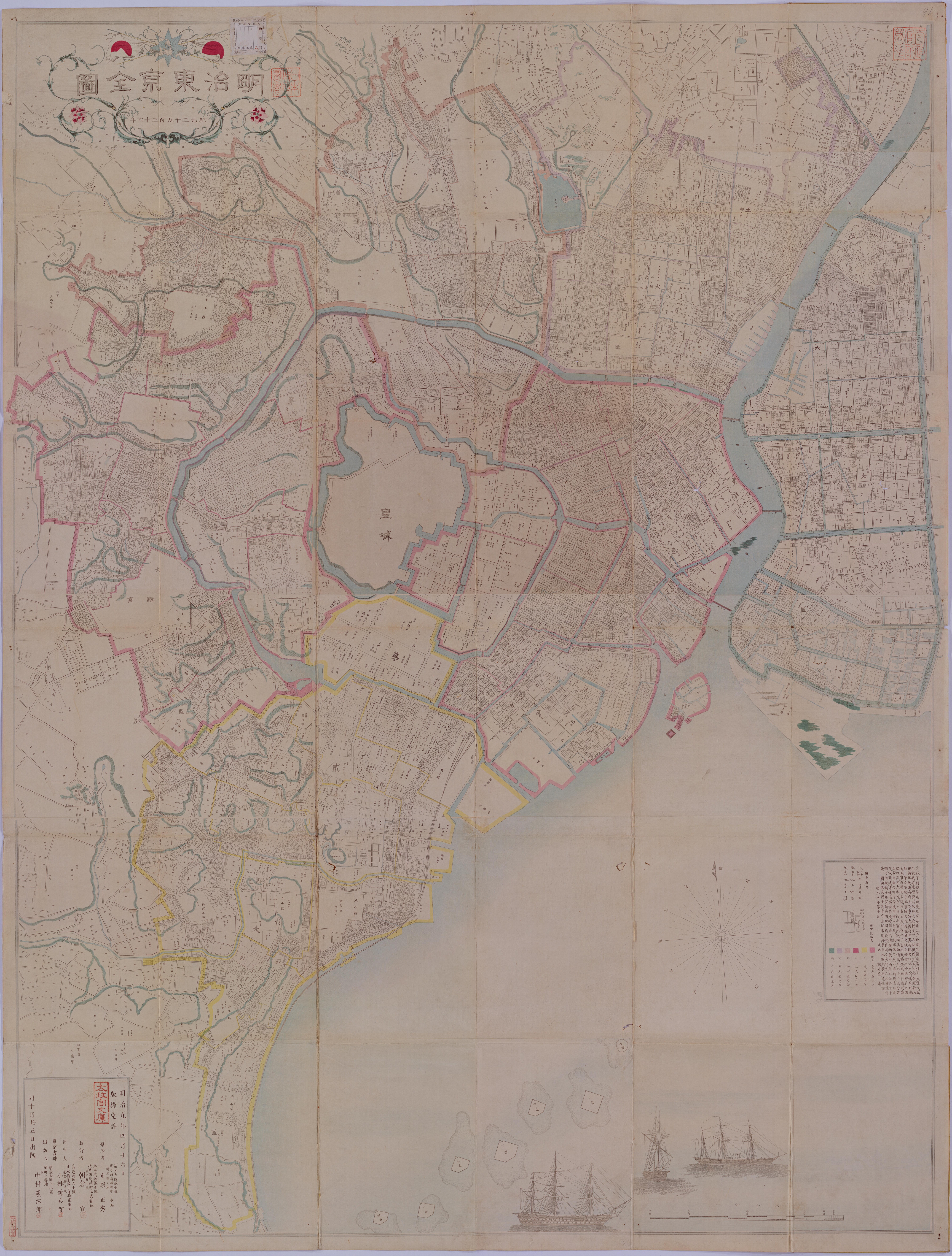
Meiji Tokyo zenzu (Map of Meiji Tokyo)
Whole area of Tokyo Prefecture was divided into 6 large districts and 97 small districts in the 4th year of Meiji (1871). After having been incorporated from neighboring areas, 11 large districts and 103 small districts were established. The "Meiji Tokyo Map" published in the 9th year of Meiji (1876) shows the features of Tokyo of the period where the large and small districts were established.
Original sizes: 162 cm from east to west and 214 cm from north to south.
二次利用について:
ただし、画像については「画像等データの二次利用について」をご確認ください。